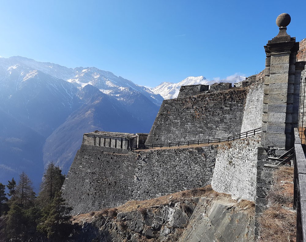
This itinerary runs through a beautiful fir forest and follows the entire wall that connects Fort San Carlo with Fort delle Valli, a marvel of military ingenuity built in 1727 by engineer Ignazio Bertola at the request of King Victor Amadeus II.
Because of its structure, the fortress is also called the Great Wall of Piedmont, placed to protect one of the most important access routes to the Duchy of Savoy and communication between it and Central Europe. In 2007 it became a symbol of the Province of Turin, and the World Monuments Fund included it in its list of 100 historical-archaeological sites of world importance. After a period of neglect, which lasted practically from the end of World War II to 1990, it was reopened to the public.
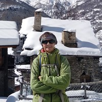
Also curious is the village of Pequerel, which apparently existed as early as 1300. It was connected to Puy by trails, and to Fenestrelle by a more practiced access road, on which the villagers moved with pack animals, also used for transporting materials and products.
In winter, the use of home-built wooden sleds and skis was common. All the land around the hamlet, owned by the inhabitants, was terraced: some fields were planted with rye, some with potatoes, and some with buckwheat and oats.
The village rises on the slopes of Mt. Pelvo at an elevation of 1,730 m, but what sets it apart is an imposing avalanche guard built in 1716 in masonry, wedge-shaped and with the tip facing upstream, which still stands to protect the village from avalanches that may descend from Mt. Pelvo.

Pequerel (Domenico Caratto).
Forte San Carlo 1142 - Forte delle Valli 1770 - Pequerel 1730
-
Elevation difference: 750 m
-
Difficulty: E/T
-
Overall time: 4 hours.
-
Recommended period: May - November or in winter when there is no snow
-
Cartography: IGC 1: 50.000 - f. 1 - Valli di Susa, Chisone e Germanasca
-
Access: Pinerolo - Fenestrelle. After the hairpin bend on the right, take the road at the sign "Fort St. Charles." Continue and park in front of the fort.
From the parking lot of the fort, we return to the private parking lot in front of the apartment buildings, where the unmarked Cannon Road mule track starts. The road is so called because it was often used to transport artillery pieces to the various batteries and gunboats, located on the mountain ridge.

Continue through the beautiful and bright pine forest, sometimes crossed by chamois, until you cross a side cartroad that descends to Puy. You omit it to continue to the right and join the carriage road coming from Depot.
On the right, take the mule track that soon leads to the drawbridge of the Valli fort, from which you can admire the grand panorama with Albergian in the foreground. Back on the carriage road and on a false level you reach the village of Pequerel.

Once you have visited the village, which is partly ruined but where some of the huts have been elegantly restored, take path 335b that first leads to a scenic bench and then descends on a mule track to the Fenestrelle highway, which you follow to the left for about 500 m to reach the parking lot.

Fort St. Charles.

Fort of the Valleys.


